What Happens When You Buy Land in a Flood Zone (And Didn't Know It)
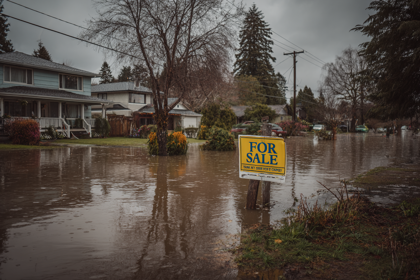
The deal looked clean. The price was right. Then a buyer's lender ran a flood determination.
The Moment You Realize
It usually happens one of two ways.
The first: you've already listed the parcel. A buyer shows interest, applies for financing, and their lender orders a flood zone determination based on FEMA panel data. The result comes back showing Special Flood Hazard Area designation — Zone AE, maybe Zone A. Mandatory flood insurance. Elevation requirements for any future structure. The buyer's enthusiasm evaporates in the time it takes them to Google what that means.
The second: you pull the FEMA data yourself after the fact — something you now realize should have happened before acquisition — and discover that the southern third of your five-acre parcel, or a strip along the creek you thought was a selling point, sits squarely in the floodplain.
Either way, you own a parcel that's worth meaningfully less than you paid for it. The good news — and there is some — is that not all flood zone situations are equal, your options are broader than you think, and the experience, while expensive, is one of the most preventable mistakes in land investing.
Understanding What "Flood Zone" Actually Means for Your Parcel
The impact of a flood zone designation depends on which zone, how much of the parcel is affected, and what the local regulatory environment looks like. The details matter more than the headline. For a complete breakdown of every zone classification, see our FEMA flood zone classifications reference.
Full parcel in Zone AE or Zone A is the most impactful scenario. The entire usable area sits within the Special Flood Hazard Area — the land that FEMA estimates has a 1% annual chance of flooding (often called the "100-year floodplain," a label that misleads people into thinking it's a rare event). Any future structure must be elevated to or above the Base Flood Elevation. Flood insurance is mandatory for any buyer with a federally backed mortgage. The building constraints are real, the insurance costs are ongoing, and the buyer pool contracts significantly.
Partial parcel overlap is more common and more nuanced. Only a portion of the parcel sits in the SFHA. The buildable area is constrained to the non-flood portion, which may or may not be adequate depending on total parcel size, required setbacks, and where exactly the flood zone boundary falls. A ten-acre parcel with two acres of flood fringe along a creek may still have plenty of buildable area. A one-acre parcel where the SFHA clips the only flat ground is a different story entirely.
Zone X (shaded), the 500-year floodplain, carries moderate risk. There's no mandatory insurance requirement and no elevation mandate. The practical impact on resale is minimal — some buyers will note it, most won't care enough to walk. This designation is a yellow flag, not a red one.
The floodway distinction matters enormously. Within the SFHA, there's a critical difference between the regulatory floodway and the flood fringe. The floodway is the channel that actively carries floodwater — most communities prohibit any development within it that would raise the Base Flood Elevation. A parcel in the floodway is essentially unbuildable. The flood fringe — the area outside the floodway but still inside the SFHA — allows construction, provided the structure is elevated above the BFE. If your parcel's flood zone issue is floodway rather than flood fringe, the impact is dramatically worse.
Risk Rating 2.0 has changed the insurance calculus. FEMA fully implemented its new pricing methodology in April 2023, and it means that "Zone AE" alone no longer tells the whole insurance cost story. Two parcels in the same zone on the same street can have meaningfully different insurance costs.
Premiums are now calculated based on property-specific factors: distance from water, flood frequency, multiple flood types, elevation, and replacement cost. This matters for your resale analysis because the buyer's insurance burden — and therefore your parcel's effective price ceiling — is more variable and harder to predict than it was under the old system.
The Financial Impact: What This Does to Your Deal
The financial damage from an undiscovered flood zone designation hits on multiple fronts simultaneously.
Resale value drops. The academic literature on improved properties shows flood zone discounts ranging from roughly 2% to 13% depending on market awareness and disclosure laws. For vacant land — where there's no existing structure to anchor value and the buyer is purchasing future potential — the discount is steeper. There's no comprehensive study on vacant land specifically, but experienced land investors consistently report that SFHA-designated parcels sell at 20% or more below comparable non-flood parcels, with heavily impacted parcels (full SFHA coverage, floodway presence, or poor buildable-area ratios) discounting even further. The reduction reflects both the insurance burden on future owners and the sharply reduced buyer pool. Understanding how to comp vacant land in flood-affected areas requires accounting for this discount.
The buyer pool shrinks. Many end buyers — particularly manufactured home buyers and budget-conscious first-time builders who represent a large segment of the land market — cannot or will not purchase in flood zones. Financed buyers face mandatory flood insurance on top of their mortgage, and those premiums aren't trivial. The national average NFIP premium is roughly $900/year as of early 2025, but high-risk properties can easily run $2,000–3,000 or more annually under Risk Rating 2.0. That's a meaningful addition to a buyer's carrying costs, and it directly reduces their purchasing power for the land itself.
Days on market extend. The combination of reduced pricing and a smaller buyer pool means flood-zone parcels sit longer — often two to four times the typical days on market for comparable non-flood parcels in the same area. Every additional month on market accumulates holding costs: property taxes, any HOA dues, and the opportunity cost of capital that's tied up instead of working the next deal.
The math gets ugly fast. Say you bought a parcel for $12,000 expecting to sell at $25,000 based on comparable non-flood sales in the area. Flood zone status drops realistic resale to $14,000–18,000. After six months on market, your projected $13,000 profit becomes a $2,000–6,000 gain before holding costs — or a net loss after you account for property taxes, transaction costs, and the time you spent marketing a parcel that should never have entered your pipeline at that basis.
Your Options Now
Knowing the flood zone status doesn't help undo the acquisition, but it does shape the strategy for moving forward. The options range from cutting losses quickly to investing in a potential full recovery.
Option 1: Sell at the adjusted price and move on. Accept the reduced value, price the parcel accurately for its flood zone status, and redirect your capital and attention to the next deal. This feels like admitting defeat, which is exactly why many investors resist it — and end up holding problem parcels for months while the carrying costs accumulate. In most cases, the disciplined move is to take the haircut, learn the lesson, and redeploy. Holding and hoping is its own cost, and it's usually higher than the loss you're trying to avoid.
Option 2: Apply for a Letter of Map Amendment. If you believe the parcel was incorrectly mapped — meaning the ground elevation is actually at or above the Base Flood Elevation — you can apply to FEMA for a LOMA. If granted, the parcel is officially removed from the SFHA, restoring its non-flood status and, with it, the parcel's full market value.
The process requires an Elevation Certificate prepared by a licensed land surveyor or registered professional engineer, which typically costs $400–2,000 depending on property complexity, location, and surveyor availability. The LOMA application itself is free — FEMA charges no fee to review the request. Through the standard process, FEMA typically issues a determination within 60 days. Licensed professionals can also file through FEMA's eLOMA tool and receive an instant determination for qualifying properties.
The critical caveat: FEMA only grants LOMAs when the elevation data supports the change. If the ground really is below the BFE, the application will be denied and you'll have spent several hundred dollars on a surveyor for a definitive answer you didn't want. But when the data supports it — when the parcel was an "inadvertent inclusion" due to the limitations of the original mapping — a LOMA is the best possible outcome. It completely resolves the problem.
Option 3: Market to flood-aware buyers. Some buyers specifically seek flood-zone parcels because they're cheaper. Cash buyers who don't face mandatory insurance requirements, experienced builders who know how to design and construct above BFE, and investors looking for hold-and-lease or recreational-use scenarios may see the flood discount as a feature rather than a bug. The parcel is worth less to the general market, but it may be worth exactly the right amount to a buyer who understands the constraints and has priced them in.
Option 4: Hold for potential map revision. FEMA periodically revises its flood maps through Letters of Map Revision (LOMRs), and community-level changes — new infrastructure, updated hydrological studies, or levee certifications — can shift SFHA boundaries. This is speculative and slow. Map revision cycles take years, and there's no guarantee your parcel will be affected. But if you're not under financial pressure and the parcel has other attributes that make it worth holding, monitoring FEMA's map update schedule for your area is a low-cost option to keep in your back pocket.
Option 5: Add value through information. If you can provide a potential buyer with an Elevation Certificate showing exactly where the BFE falls relative to the parcel's terrain, a clear determination of how much buildable area exists outside the SFHA, and a preliminary estimate of likely insurance costs under Risk Rating 2.0, you've reduced the buyer's uncertainty. Uncertainty is what drives the deepest discounts. A buyer who knows exactly what they're dealing with — and can see that the parcel is still usable, just constrained — will typically pay more than a buyer staring at "Zone AE" with no context.
How This Happens — And How It Doesn't Have to Happen Again
The root causes are consistent across nearly every flood zone surprise:
Using a third-party flood approximation tool instead of FEMA's National Flood Hazard Layer data. Quick lookup tools are convenient, but many of them use interpolated or simplified boundaries that miss partial-parcel overlap, especially on parcels that straddle zone boundaries. For a step-by-step guide to reading the actual source data, see How to Read a FEMA Flood Map.
Not checking for partial overlap. Even investors who verify the flood zone at the parcel level sometimes miss that a portion of the parcel — not the centroid, not the address point, but a section along one edge — falls inside the SFHA. This requires overlaying the FEMA zone boundary against the actual parcel geometry, not just checking a single point.
Relying on listing data that didn't disclose flood status. Sellers and listing platforms often omit flood zone information, either because they don't know or because disclosure requirements vary by state. Absence of flood information in a listing is not evidence that the parcel is flood-free.
Skipping the check entirely under time pressure. When deal flow is high and the investor is racing to lock up acquisitions, the flood check is sometimes the step that gets dropped. It's a five-to-ten-minute task manually, seconds with automated verification. There is no scenario where skipping it saves more time than it costs.
For partial-overlap situations specifically, the right approach is to overlay the FEMA zone boundary against the parcel polygon, calculate the usable area outside the SFHA, evaluate whether that area is sufficient for the parcel's intended use given setback requirements, and price accordingly. A parcel with 80% buildable area outside the flood zone is a very different proposition than a parcel with 20%.
The Bigger Lesson: Verification Isn't Where You Cut Corners
Flood zone status is one of the highest-impact binary checks in land verification. The data is structured, federal, and accessible. The check takes minutes. The cost of missing it can reshape an entire deal's economics.
It's also one of the most automatable checks in the entire verification process. FEMA publishes its flood hazard data through well-documented, publicly accessible sources. Programmatic verification against this data eliminates human error, handles partial-overlap analysis cleanly, and scales across any number of parcels without the accuracy degrading as volume increases. See our manual vs. automated verification comparison for how this applies across all verification checks.
The investors who consistently avoid flood zone surprises aren't luckier than the ones who get burned. They have a verification process that catches these issues before capital is committed — not after a buyer's lender delivers the bad news.
The gap between those two groups isn't knowledge. It's sequence.
For the step-by-step process of checking flood zones correctly — including how to pull FEMA NFHL data and analyze partial-parcel overlap — see our [Complete Guide to FEMA Flood Maps for Land Investors](/articles/how-to-read-fema-flood-map). For the full verification checklist that prevents this and other costly surprises, start with our [Land Due Diligence Checklist](/articles/land-due-diligence-checklist). For more scenarios where skipped verification turns profitable deals into losses, read [The True Cost of Skipping Due Diligence](/articles/true-cost-skipping-due-diligence).